
Jan 14, 2013


.jpg)


Jan 9, 2013


Nov 11, 2012
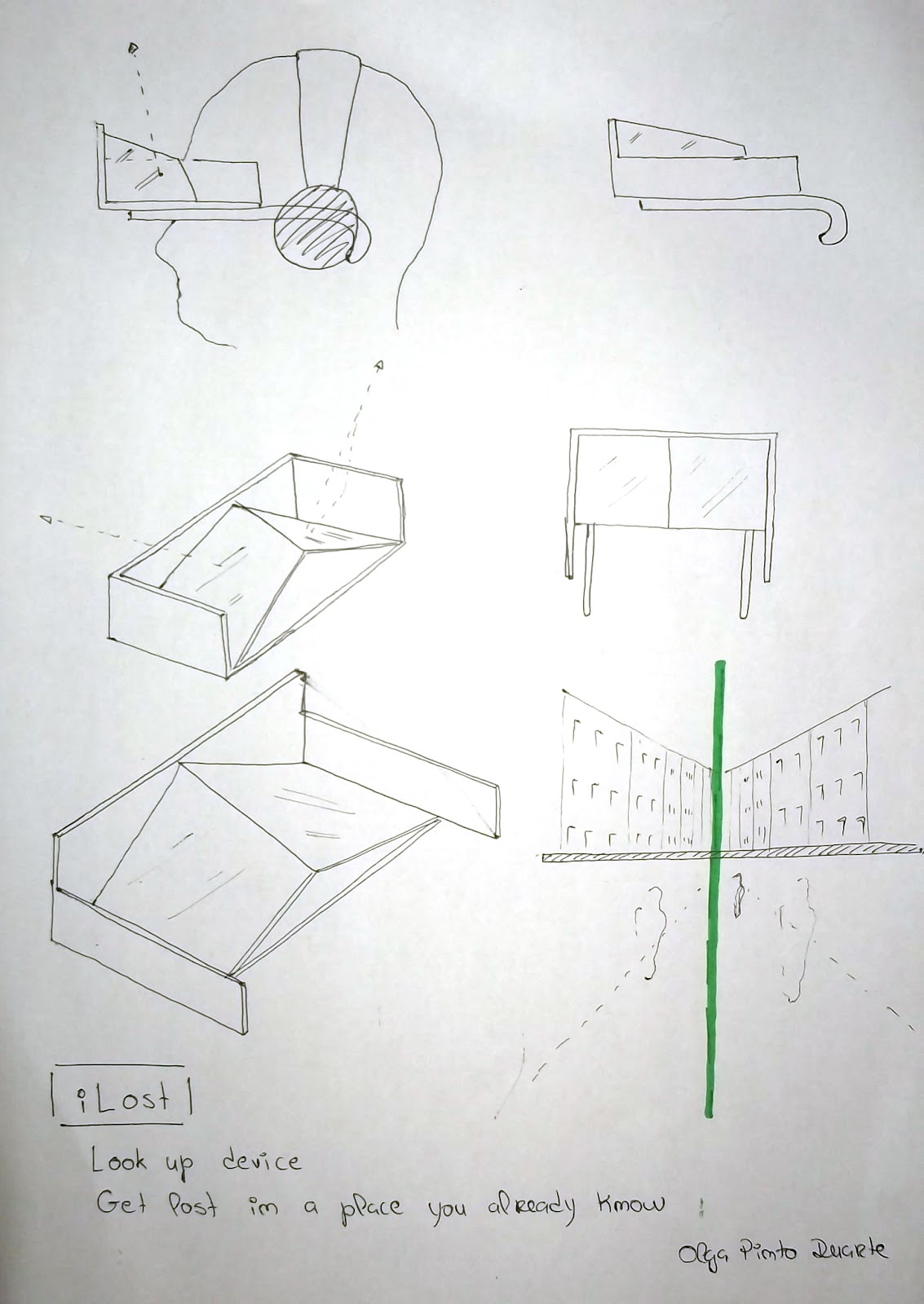
task # 3


mapping the trees of Gezi Park
this task aims to acknowledge the trees as commons, create an image of the trees with their unique characteristics, such as their individual shadows, the space created below their branches and among their trunks, their leaves, and their different colors.
- locate the different types of trees on a map
- take a photo of the tree with a scale (you can take the photo with a friend or yourself in the frame)
- draw the silhouette of the tree
- collect its leaves
- prepare an ID card for each tree
- collect all information on a collaborative map
Nov 6, 2012


Oct 31, 2012
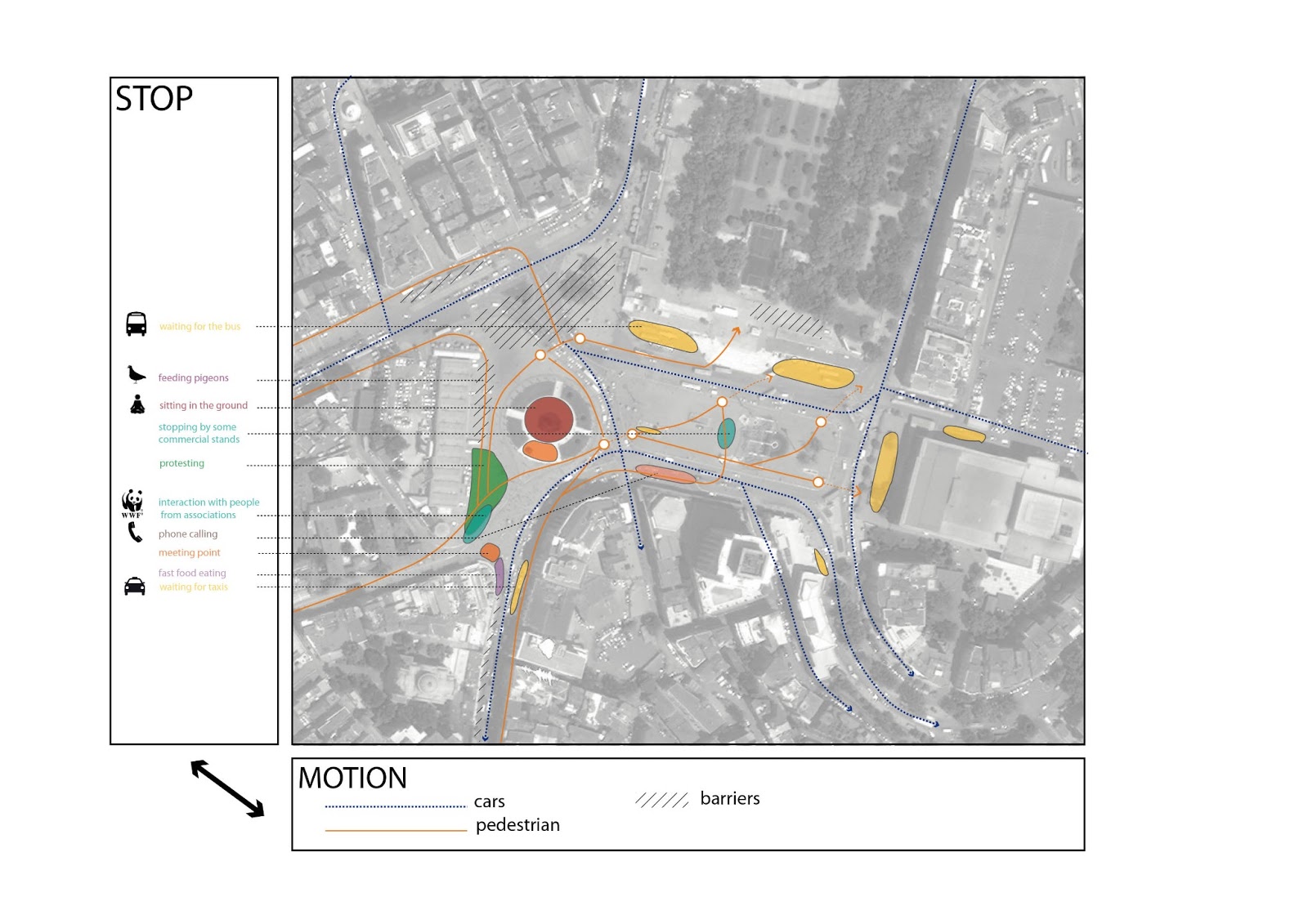
task #2


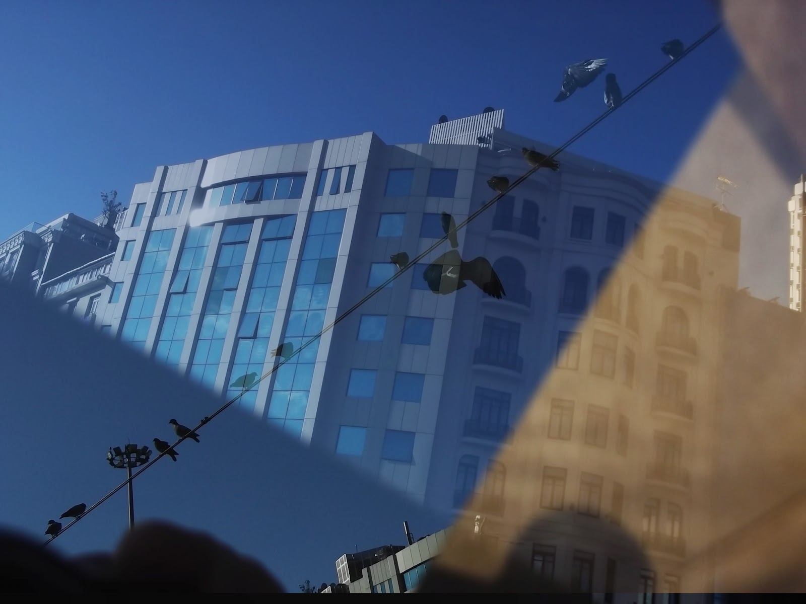
mapping Taksim Square
The square has been represented in traditional maps
as, for example, the crossroads of transportation and touristic attraction.
But neither of these are able to reveal the everyday spatial practices and
accordingly the variety of meanings attached to this place by different users
at different times. The exercise is aimed for observing and documenting the
everyday uses of the square. Each mapping will challenge both the observer’s
position and the fixed knowledges of this place.
Pay attention to:
- urban systems, visible and invisible structures, particular urban configurations
- processes, uses, events, temporalities
- histories, stakeholders
Pay attention to:
- urban systems, visible and invisible structures, particular urban configurations
- processes, uses, events, temporalities
- histories, stakeholders
Oct 24, 2012

Oct 22, 2012

Oct 16, 2012


Oct 14, 2012
becoming Istanbul

Here is the link of an interactive Istanbul map made by SALT (a platform of art, knowledge and culture based in Istanbul. http://saltonline.org/en/home ).
It shows the relations between different aspects of today Istanbul society, and also some interesting initiatives and projects.
Oct 12, 2012


Oct 11, 2012


Oct 10, 2012


Subscribe to:
Posts (Atom)